Here is a short post that contains two more videos and additional miscellaneous photos from my recent trip to our lot in Colorado.
One evening bad weather rolled in and delivered a hail storm. Here is what it sounded like and the aftermath as seen the following morning. Run time: 1:58.
The ground was white with hail, but all melted off during the day adding moisture to the grass and trees. The date was August 6th, 2023.
Pam had asked me to do a “lot walk-around” video as she has not been to the lot in the last few years, and I had been clearing dead trees and brush in this interval. The video is fairly long at 18:58 but does cover quite a bit of ground. Shot over two days, there is some overlap and different lighting – some evening, some daylight. The clip is as much for historical purposes as anything so we can remember all the effort and time we have put into this parcel since we bought The Lot in September of 2012.
The following photos all fall into the “miscellaneous” category.
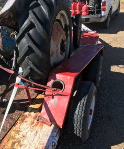
This first photo shows some damage to my equipment trailer due to a very rough road leading from The Lot. I strapped the fender to the tractor and continued home to Iowa. The local repair shop will re-weld the broken fender bracket and replacement tail lights are on order.
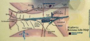
This photo shows the location of buildings at the top of Boreas Pass in its heyday. Find the Log Section House near the top of the map and note a small building just to the right. Around this cabin is were Mountain Lorrie (Pam’s mother, Lorraine) requested her ashes to be dispersed after a trip to the pass with us in the late ’70s.
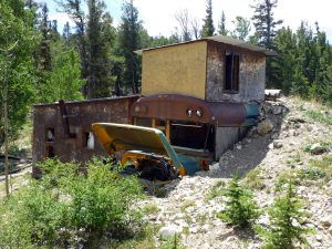
One can sometimes see strange things along a trail, including this bus that was partially buried and converted into a hunting (?) camp.
Eastern Colorado appears to be expanding the variety of crops being grown. These sunflowers along I-76 added a golden cast to the landscape.
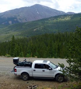
I am including a photo for Craig who asked about the ATV fitting in the truck.
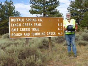
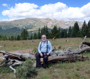
And, to round out this post, a couple photos of me along the trails. All were on National Forest lands and were pretty well marked. I used my Avenza map application, on my phone, to track my location along the way.
That’s it for now. Thanks for looking in!
